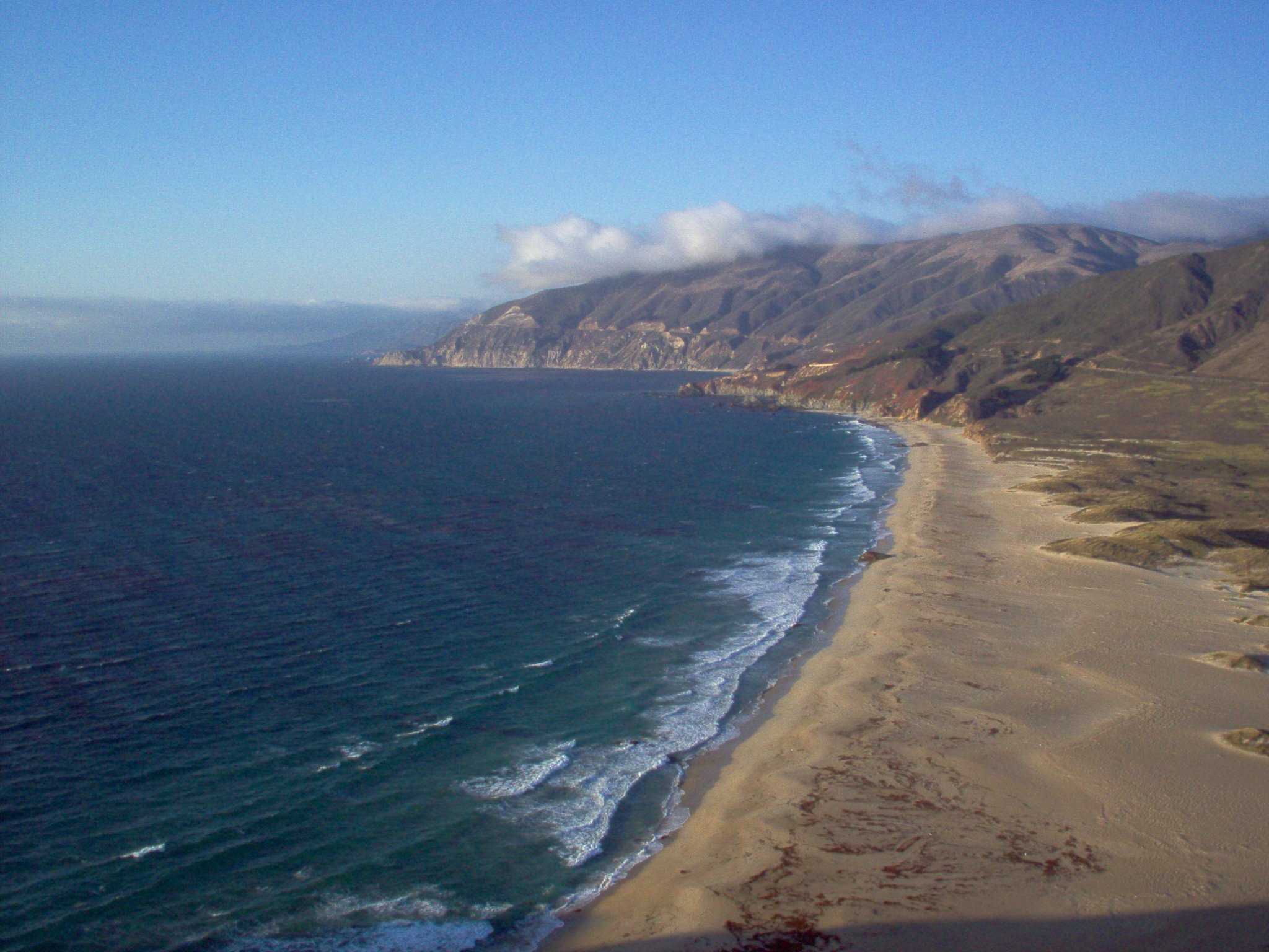
Why Big Sur Chose Visual Access
One of the most common misunderstandings about the Big Sur Coast Land Use Plan is the belief that it limits public access.
It does not.
Big Sur offers countless opportunities for physical access through public beaches, state parks, national forest lands, hiking trails, campgrounds, scenic pullouts, and recreation areas.
The question facing the authors of the Land Use Plan was never whether the public should have access to Big Sur.
The question was:
What type of access best protects this extraordinary coastline for future generations?
Big Sur Is Different
Unlike many other parts of California’s coast, Big Sur is defined by steep mountains, fragile ecosystems, narrow canyons, limited infrastructure, and one of the most spectacular scenic landscapes in the world.
The planners recognized that attempting to maximize physical access everywhere would eventually require:
* more parking lots,
* more restrooms,
* more trails,
* more signs,
* more roadside facilities,
* more development.
Ironically, providing more physical access would gradually diminish the very landscape people came to experience.
A Different Philosophy
Instead of emphasizing physical access throughout the coast, the Big Sur Coast Land Use Plan adopted a different principle.
It recognized that the landscape itself is the public resource.
That is why the LUP states:
“Visual access should be emphasized throughout Big Sur as an appropriate response to the needs of visitors.”
This was a deliberate planning decision.
The public would continue to experience Big Sur primarily by traveling Highway 1 through an extraordinary, largely undeveloped landscape.
Protecting that experience became the foundation of the Land Use Plan.
Visual Access Is Public Access
Some people mistakenly assume that emphasizing visual access means denying public access.
The opposite is true.
Every person who travels Highway 1 experiences Big Sur’s visual access.
Millions of people each year enjoy one of the world’s great scenic drives because previous generations chose to protect the landscape rather than fill it with additional development.
At the same time, Big Sur continues to provide abundant opportunities for physical access through its parks, beaches, trails, campgrounds, and public lands.
The Land Use Plan simply recognized that physical access should not come at the expense of the landscape itself.
Why This Matters Today
As new generations of planners and decision-makers become involved in Big Sur, it is important to understand that the Big Sur Coast Land Use Plan did not accidentally emphasize visual access.
It did so because the people who created the plan understood that Big Sur could never accommodate unlimited physical access without losing the qualities that make it unique.
The question has never been:
“How can we create more access?”
The question is:
“How do we preserve the experience of Big Sur while providing appropriate public access?”
For more than forty years, the answer has been clear:
Protect the landscape first.
Everything else follows from that principle.